Printed in the USA · Free US shipping · Ships in 2-5 business days · 30-day guarantee
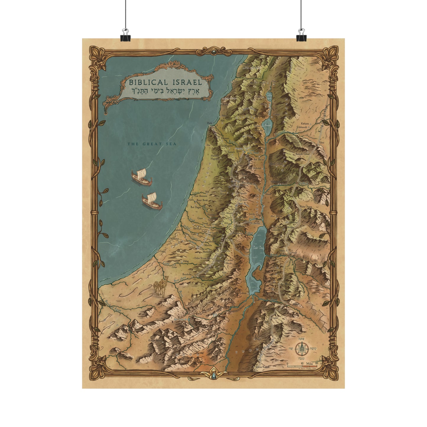
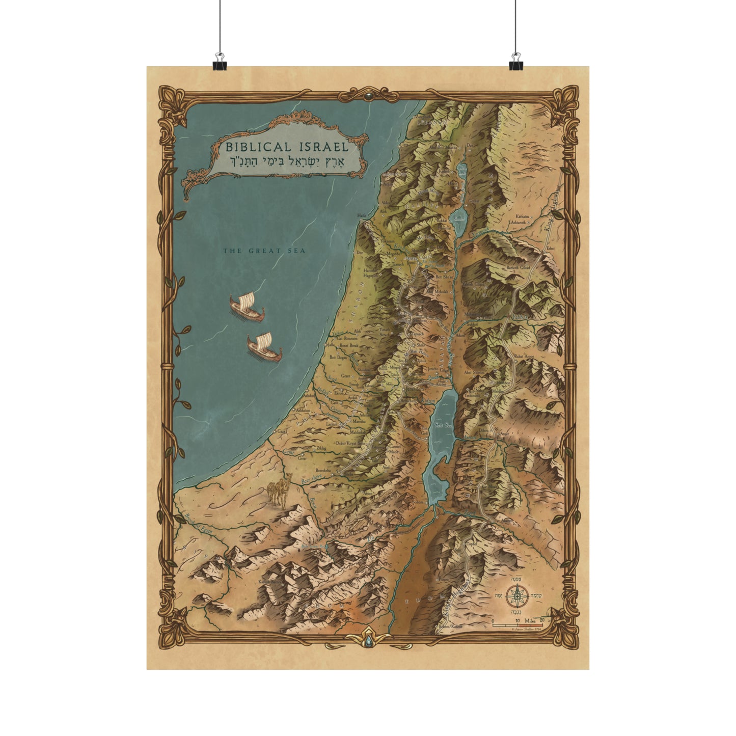
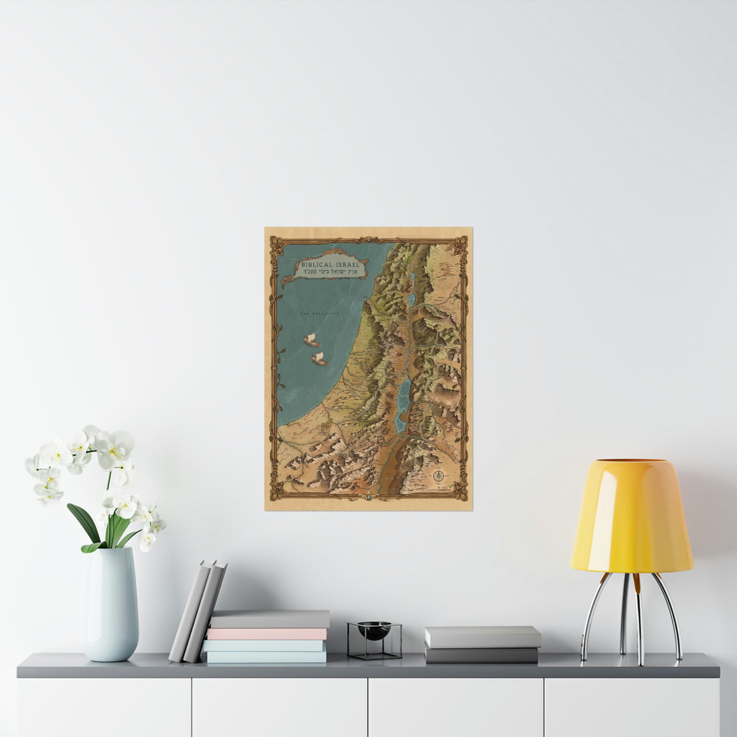
I am a licensed Israel tour guide. Since 2011 I have walked the land of the Bible with thousands of travelers, and for years I wished for one map that shows the Bible's geography the way the land actually looks. So I made it. I put thousands of hours of research into this map, and a professional cartographer drew every ridge, valley, and coastline by hand. It is the same map you see in my Walking Tanach videos.
What the map shows
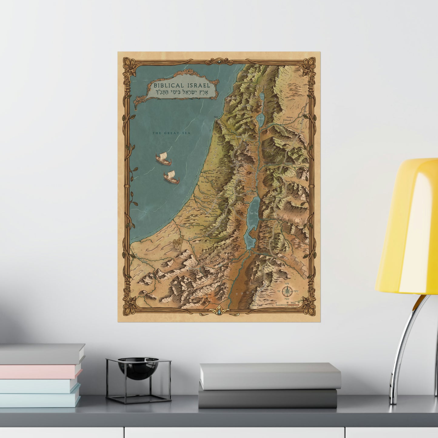
Hundreds of Biblical cities, each placed according to current research
Ancient roads and trade routes
Springs, rivers, mountains, and valleys in clear hand-drawn topography
The regions of the land as the Bible names them
When you can see that Bethlehem sits within sight of Jerusalem, or how far Joseph walked to find his brothers at Dothan, the stories change. The geography is part of the story. This map puts it on your wall.
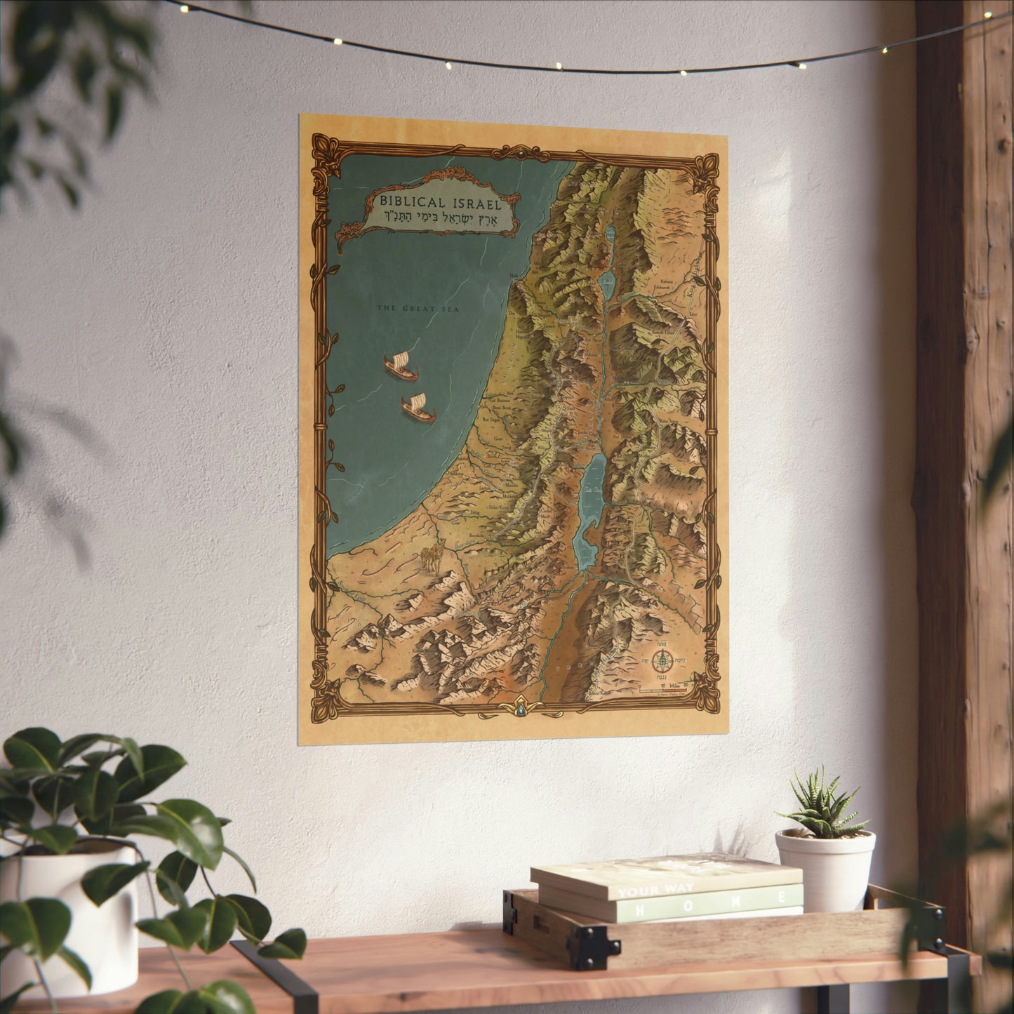
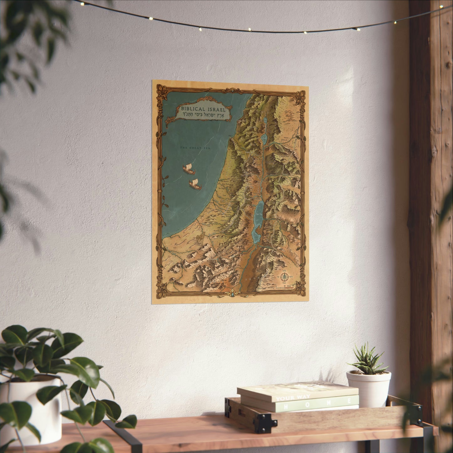
Made to be displayed
I made this map beautiful on purpose. In your home, your office, or your classroom, it reads as art from across the room and as a reference work up close. Teachers hang it in their classrooms and students gather around it.
Museum-grade materials
175 gsm archival fine art paper
Pigmented archival inks that resist fading for decades
Printed and shipped from a fine art print house in the USA
Sizing and framing
The 18" x 24" fits standard frames sold at any frame or craft store. The 22" x 30" is the statement piece: frame it with a custom frame, or hang it with poster rails for a gallery look. Prefer it ready to hang out of the box? See the framed version.