
A hand-drawn map of the Holy Land
The Bible happened in real places. This map shows you where.
The cities, roads, rivers and mountains of Biblical Israel, drawn by hand in the style of an old map. Researched and placed by licensed Israel tour guide Aaron Shaffier.

Why a map
When you can see the land, you read the Bible differently.
Bethlehem sits within sight of Jerusalem. Joseph walked for days to find his brothers at Dothan. The geography is part of the story. This map puts it in front of you, on your wall, every day.

The mapmaker
I'm Aaron Shaffier, and I made this map.
I am a licensed Israel tour guide and a Torah scribe. I live in Be'er Sheva with my wife Miiko, and since 2011 I have walked the Land with thousands of travelers.
I started this map for my Walking Tanach videos and planned to keep it to the major sites. That plan didn't last. I kept adding places, and I found a highly skilled cartographer who could draw it beautifully and accurately, in the style of an old map.
As it got close to finished, I realized how nice it would be to have it printed and hanging in my own home and office. That is how the print began.
Read my storyUp close
Drawn by hand, every ridge, valley and city.
From across the room it reads as art. Up close it is a reference you will keep coming back to.

163 places
The cities, springs and battlefields of the Bible, each placed where the weight of the evidence points.
Ancient roads
The routes people walked, so you can follow a journey from place to place.
The shape of the land
Mountains, valleys, rivers and the regions as the Bible names them, in hand-drawn relief.
How we know
Every place, and the evidence for it.
The print shows the places. The reasoning behind each one is in two other places.
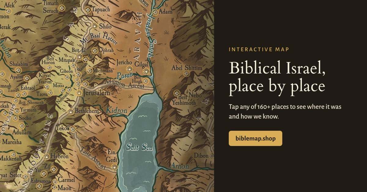
The interactive map, free
Tap any of the 163 places to see where it was, the evidence for it, and the verses that mention it.
Explore the map
Bonus with every map · a $19.99 value
The book, free with every print
Arise, Walk the Land: 193 pages on what happened at each place and how we know where it stood, with photos and verses. A $19.99 value. Printable and phone editions arrive by email when you order.
Bring it home
For your home, office or classroom.
Printed in the USA on archival paper with fade-resistant inks.
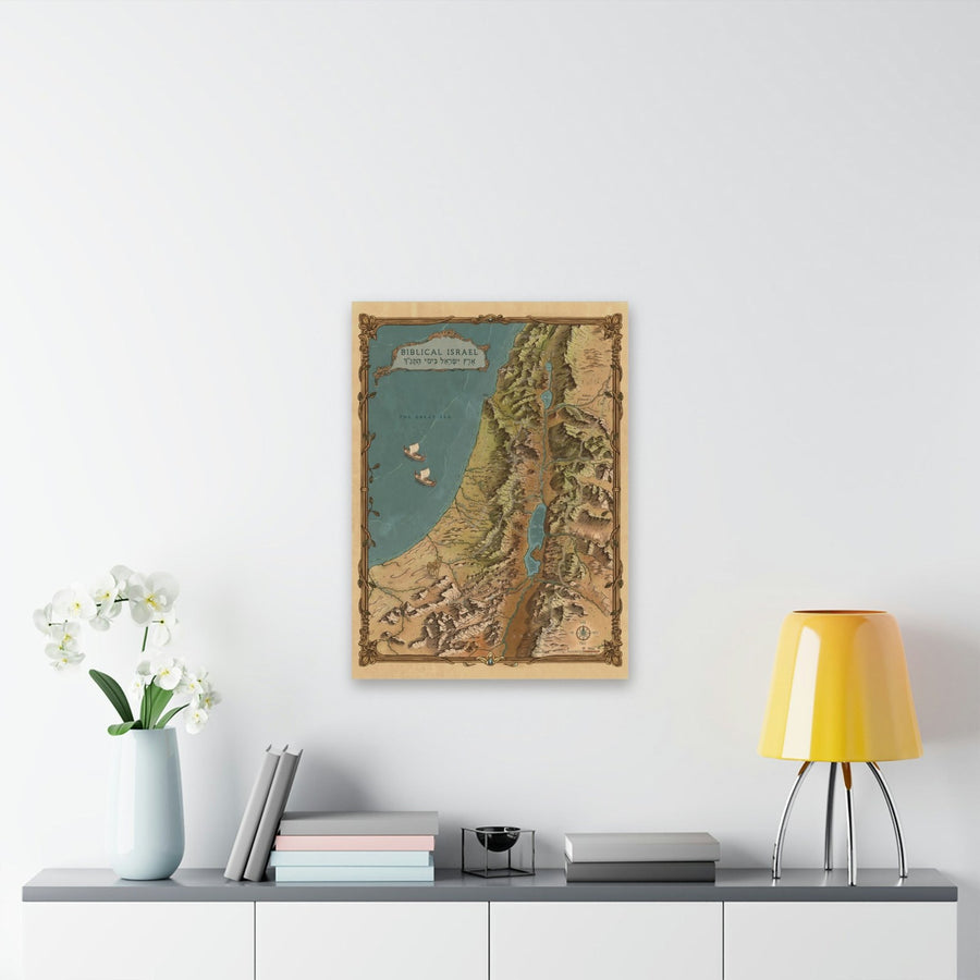
Large, 22″ x 30″
The size it was drawn for. Every place name is easy to read from across the room.
$69.99
+ Free bonus: a 193-page ebook on every place on the map ($19.99 value)
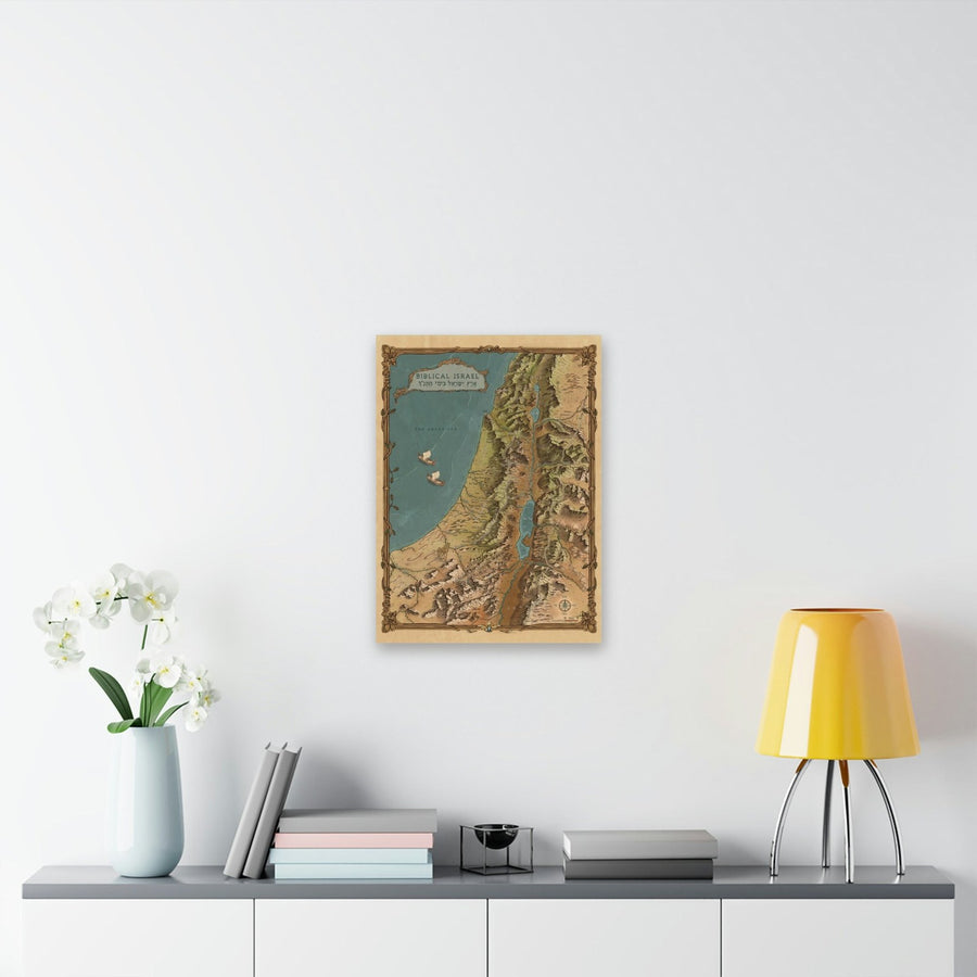
Medium, 18″ x 24″
The same map, in a more compact size.
$49.99
+ Free bonus: a 193-page ebook on every place on the map ($19.99 value)
- Free US shipping
- Buy 1, get 25% off the second
- Free 193-page ebook
- 30-day money-back guarantee
What buyers say
“The map is a piece of art; the colors are beautiful. It will be beautiful framed.”
“It has arrived and it's GORGEOUS. Thank you SO much!”
“Beautifully, impressively crafted piece of art and learning.”
See where it happened.
The hand-drawn map of Biblical Israel, with the free 193-page companion book. Free US shipping and a 30-day money-back guarantee.
Get the print